

Doherty Smith & Associates is now Compass Consulting Surveyors
Click here to see this blog and more on our new website compasscs.com.au
When dealing with non-tidal water boundaries, there are some terms which need to be understood:
“Bank” means the limit of the bed of the lake or river
“Bed” means the whole of the soil of a lake or river including that portion
a) which is alternately covered and left bare with an increase or diminution in the supply of water; and
b) which is adequate to contain the lake, creek or river at its average or mean stage without reference to extraordinary freshets in time of flood or to extreme drought.
“River” includes any stream of water, whether perennial or intermittent, flowing in a natural channel, and any affluent, confluent, branch or other stream into or from which the river flows.
Source: Surveying and Spatial Information Regulation 2012
There are only four lakes in NSW which are defined as non-tidal. These are Narrabeen Lagoon, Dee Why, Glenrock Lagoon and Lake Illawarra.
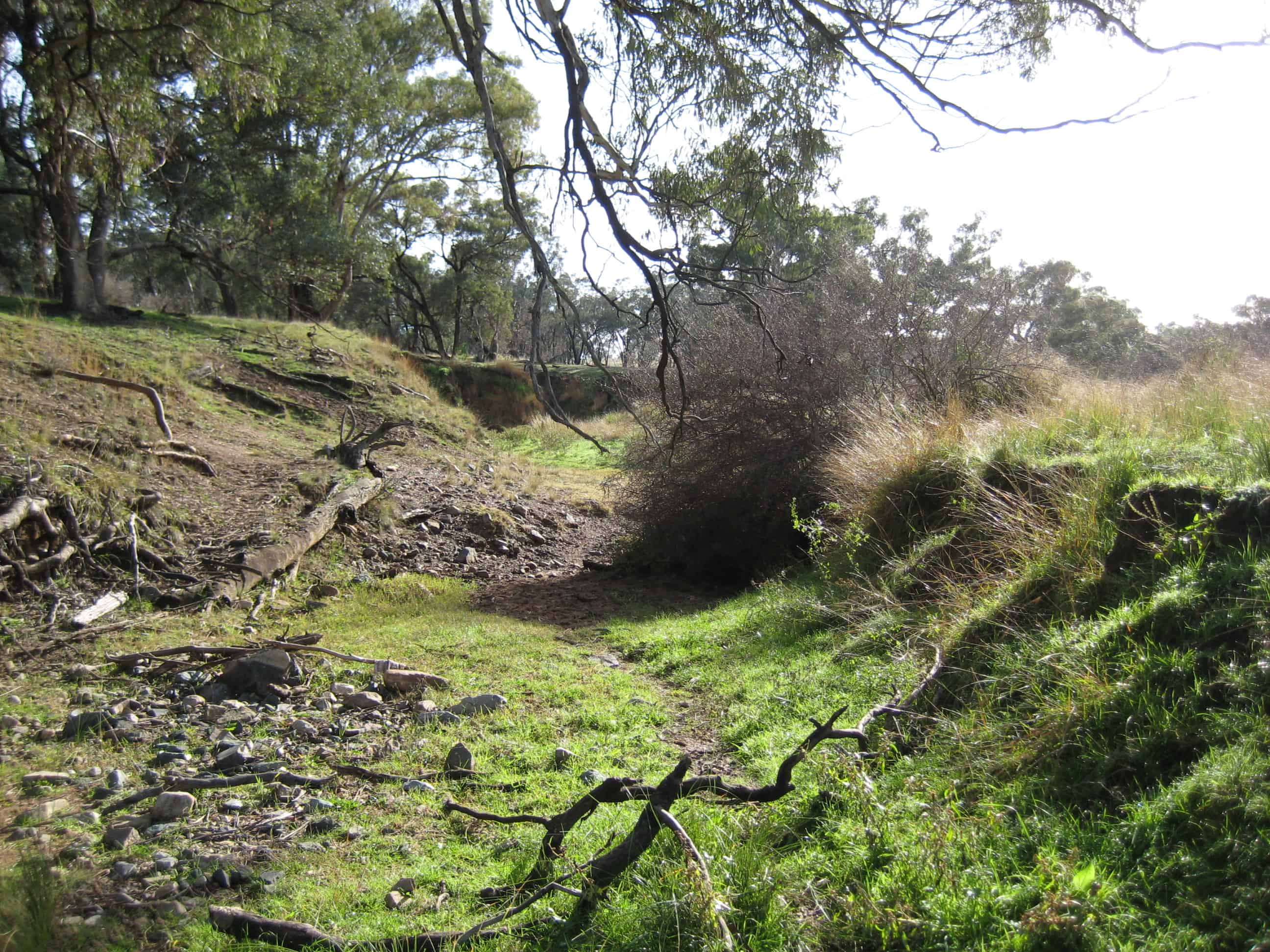
Non-tidal waters such as lakes, creeks and rivers can be used as legal boundaries. The location of the boundary depends on the details specified on the original deed or plan for the land. In the majority of cases in Central West NSW, the boundary is the bank of the creek or river. In some cases, the boundary was specified to be the centre thread of the stream.
Non-tidal river or stream boundaries are subject to the Doctrine of Accretion and Erosion. When surveying a non-tidal river boundary, a surveyor must adopt the position of the bank as shown in the original survey unless
a) The surveyor can prove that the change from the original position has been caused by natural, gradual and imperceptible means. Evidence and facts must be submitted to support the case, or
b) The surveyor can prove that the previous definition of the bank was incorrect. This can be very difficult to prove.
If the current bank does not match the position as shown on the original survey plan and the position has changed in flood events or human activity, then the position of the bank before the sudden change must be adopted.
In practical application, more often than not, water boundaries are a source of contention. Many watercourses used as a boundary in Central West NSW are intermittent, without permanent water. Where these watercourses have been adopted as a boundary, landowners on both sides of the watercourse have to construct fences for stock. Due to the boundary being the bank of the creek, it is not practical to fence on the boundary. In such cases, the fences are erected as “give and take” fences, set above the normal flood line. Often, these fences cross the watercourse to allow each landowner to have physical frontage to the stream. See our Blog on Dividing Fences for information regarding fencing water boundaries.
In other locations, the “bank” of the river as surveyed by the original surveyors was the high bank. In such cases, a modern survey will inevitably find substantial differences in the position of the bank. Depending on the original crown grant, in these cases it may be possible for the land owner to claim this extra land between the high bank and the bank as defined under the current legislation. This is done by registration of a plan of redefinition or subdivision on the land, accompanied by a comprehensive Surveyors’ Report justifying why the land extends to the current legal bank and not the high bank as shown on the original plan. While this process can be expensive, the gains can be substantial.
Where affected by flood and sudden change to the position of the bank of a stream, the land owner is presented with a difficult problem. While their legal boundary remains in the position of the bank prior to the sudden change, there is no easy recourse to correct either the boundary or the course of the stream.
The legalities of non-tidal water as a boundary are complex. Many people assume that a strip along all rivers is crown land for public access. In some cases, a reserve has been created parallel to the bank of the river and set aside as crown land, however the majority of rivers and creeks in NSW are private property to the legal bank.
Owning land with non-tidal water as a boundary has many rewarding aspects such as rich alluvial soil and access to water supply. While fencing can be problematic as can dealing with flood events, it is best to enjoy the benefits and make the most of your waterside land.
For more information on non-tidal water boundaries, see my blog on the “10 metre rule” and “20 metre rule” here.
Eric Smith
Registered Surveyor